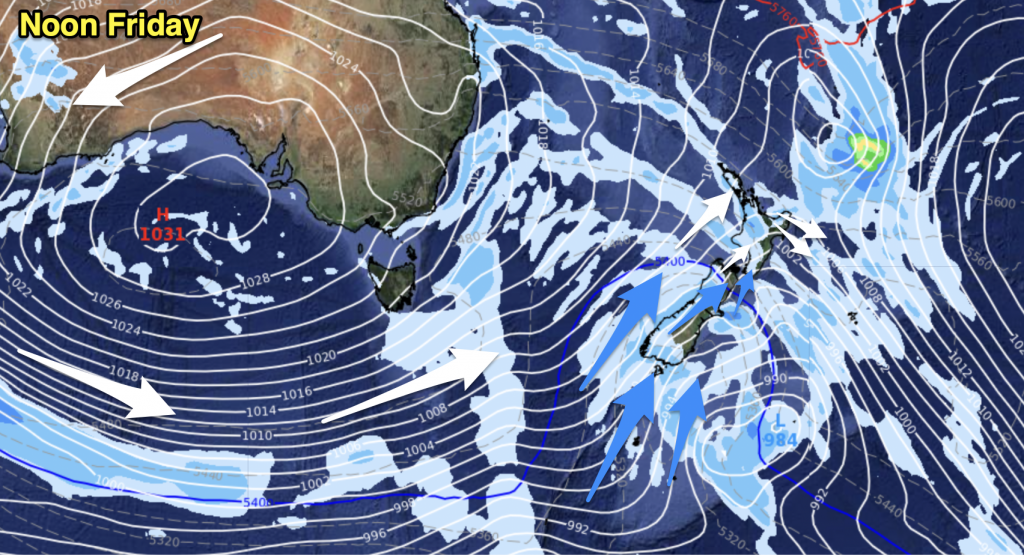
High pressure pushes across the country bringing mostly sunny, dry, weather to the South Island and warm weather with afternoon cloud build-ups in the north. Some downpours, especially around Waikato, may be quite heavy.
Here’s the national forecast for New Zealand today, Tuesday 28th, the final day of summer on the meteorological calendar.
Auckland Northland Waikato BOP
Light easterlies, mild, with big daytime cloud build-ups and significant downpours especially around Waikato and central/inland ranges. Even watch for possible thunderstorms in Waikato.
Highs: 24 to 28
Lows: 15 to 17
Western North Island (also Central Plateau)
Some cloudy areas, especially around Taranaki. Mild with light winds. In the afternoon big cloud build-ups may produce some downpours in more northern/central areas.
Highs: 25 to 27
Low: 13 to 16
Eastern North Island
A mix of sun and cloud with light winds from the south or east. Afternoon cloud build-ups in the ranges may create downpours there – but dry for most.
High: 22 to 24
Low: 12 to 14
Wellington
Sunny with light winds from the east
High: 24
Low: 13
Nelson & Marlborough
Sunny with light winds/sea breezes.
High: 23 to 25
Low: 11 to 14
West Coast
Mostly Sunny, a few clouds – mainly in the hills later where there might be a downpour.
Highs: 23 coastal to 26 inland
Low: 8 or 9
Canterbury
Mainly Sunny with light winds. Afternoon cloud build-ups may produce an isolated shower
High: 22 to 24
Low: 9 to 12
Southland and Otago
Mainly Sunny with light winds. Afternoon cloud build-ups may produce an isolated shower.
Highs: 18 to 26
Lows: 8 or 9
– By head weather forecaster Philip Duncan, WeatherWatch.co.nz


Add new comment