Upper North Island
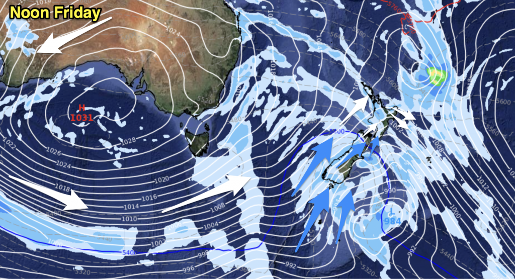
Early rain with heavy falls for some easing to showers and perhaps a few sunny spells, winds brisk to strong from the west with gales possible on exposed western coastlines and about Auckland. Rain may take a little longer in the morning to ease about eastern Northland then elsewhere.
Lower North Island
Any early rain easing to showers in the west, although showers may be heavy at times during the day and squally with strong to gale west to northwesterly winds. The east coast sees early rain clear then mostly sunny with strong to gale northwesterly winds for the rest of the day.
Upper South Island
Rain on the West Coast with occasional heavy falls and possible thunderstorms. Snow to 700m. The east coast is mainly sunny, rain about western parts of Marlborough and Canterbury however spreading from the west. Winds for all will likely be strong to gale from the west or northwest. Some early rain for South Canterbury clearing away, then at some point between mid afternoon and evening a southwest change with strong coastal winds makes it’s way north to about Banks Peninsula bringing the risk of a few showers.
Lower South Island
Rain with heavy falls possible for most then easing during the afternoon and clearing by evening as light winds tend west to northwest. Heavy snow possible down to 500m.
By Weather Analyst Aaron Wilkinson – WeatherWatch.co.nz


Add new comment