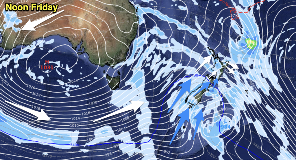
Upper North Island
chance of a shower mainly along the western coastline. In the afternoon isolated showers becoming a little more widespread then clearing away in the evening. About eastern Bay Of Plenty, some morning rain possibly heavy then clearing early afternoon with sunny spells developing.
Lower North Island
Sunny spells with light westerlies, the odd shower possible mainly
afternoon. Wellington remaining mostly dry with northerlies. Along the east
coast expect north to northwesterly winds, some morning rain clears Napier and
Gisborne then sunny areas increase, dry further south about the Wairarapa.
Upper South Island
Some early morning rain clears about the Marlborough Sounds, parts of Tasman and down along the West Coast through to Greymouth then sunny areas increase with light west to northwest winds. Mostly
sunny about Canterbury with light winds although later in the evening or around
midnight southwesterlies freshen bringing showers.
Lower South Island
Cloud increasing south of Greymouth in the morning with rain
pushing into Fiordland, showers spread further north late afternoon or evening.
Southwesterlies freshen about Southland this morning bringing rain which moves
into Central Otago by late morning. Some snow to 500m in the afternoon, showers
clearing Southland by late afternoon and Otago overnight. Coastal Otago sees
southwesterlies freshen early afternoon with the odd shower moving in the
clearing overnight, chance of a brief flurry or two to 500m.
By Weather Analyst Aaron Wilkinson – WeatherWatch.co.nz


Add new comment