
How are the warm temperatures that were forecast for this afternoon coming along? This is mostly concerning the South Island as this is where the warmest weather was likely to occur.
We have high’s in the Mackenzie Basin ranging from 22 to 26 degrees. Inland Southland and Otago a little more variable with high’s between 18 and 26 degrees. Those 26 degree high’s are currently the warmest which are about Roxburgh and Millers Flat in Central Otago and near Twizel a little further north.
Still a chance temperatures may peak around 27 degrees for those warmest sites but not alot of time left in the day. Maybe a sign of things to come? Last summer’s high’s about Central Otago on average weren’t all that warm.
Canterbury is seeing high’s around 21 to 23 degrees for inland areas and near the coast although Timaru is only touching 19 degrees.
The North Island has temperatures ranging from the mid to high teens. Tomorrow brings slightly warmer weather for inland parts of the North Island.
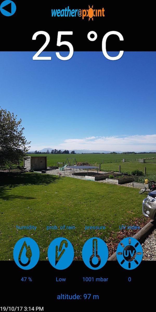
Blair Drysdale in Southland certainly isn’t complaining with a reading of 25 degrees currently at his place. He says, “It’s a doozy of a day in the south!”
WeatherWatch.co.nz
Image – Blair Drysdale
Comments
Latest Video

VIDEO: Anzac Day + weather to next Tuesday
Anzac Day looks mild for many parts of NZ with windy nor’westers gusting to gale force for some. Many regions…
Related Articles

Friday / Weekend Newsfeed: Windy, showery, Southerly change – but high pressure from Sunday (+4 Maps)
We’ve got ourselves a good ol’ fashioned Autumn sou’west flow with Friday seeing cooler/colder weather spreading across the country with…

Anzac Day Newsfeed: Severe gales, heavy rain for some, settled for others
Updated 4am — High pressure over northern NZ moves east of the country on Thursday while a storm south of…
VIDEO: Anzac Day + weather to next Tuesday
Anzac Day looks mild for many parts of NZ with windy nor’westers gusting to gale force for some. Many regions…


Add new comment