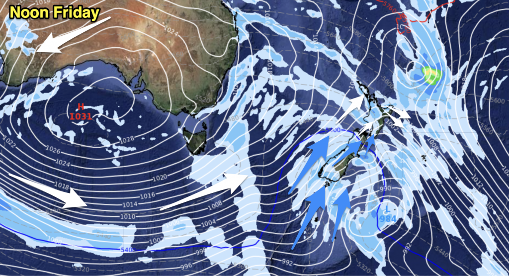
An east to northeasterly airflow gradually increases today as a large low pressure system churns away in the Tasman Sea.
Northland, Auckland, Waikato & Bay Of Plenty
Cloudy areas and a shower or two, more so about eastern areas. Auckland may stay fairly dry for much of the day till later in the evening, perhaps even some sun at times. The Bay Of Plenty (especially in the west) sees patchy rain or showers all day. East to northeasterly winds.
Highs: 15-16
Western North Island (including Central North Island)
Mostly sunny with some high cloud thickening up in the evening. Taranaki and the Central North Island (especially more towards Lake Taupo) sees cloud a little more frequent during the day, perhaps even the chance of a shower or two. East to northeasterly winds.
Highs: 12-16
Eastern North Island
Morning cloud breaks to mostly sunny weather, in the evening high cloud thickens up moving in from the west. Northeasterly winds.
Highs: 13-15
Wellington
A mix of sun and cloud with north to northwesterly winds, changing southeasterly late afternoon.
High: 13
Marlborough & Nelson
Sunny areas and some high cloud for Marlborough. Nelson sees slightly more frequent areas of cloud during the day, still, there will be some sun at times. Light winds tend north to northeast in the afternoon, cloud thickens up overnight with southeasterlies.
Highs: 12-14
Canterbury
Sunny areas and some high cloud, light winds tending easterly in the afternoon.
Highs: 10-13
West Coast
A shower or two possible in the morning then expect high cloud with some sun at times from midday, east to northeasterly winds.
Highs: 13-15
Southland & Otago
Plenty of high cloud with some sun at times, light winds tend easterly around midday.
Highs: 8-11
By Weather Analyst Aaron Wilkinson – WeatherWatch.co.nz


Add new comment