Northern New Zealand is fairly humid at the moment and combined with the heat it’s making for some big daytime cloud build-ups.
Most at risk of heavy afternoon downpours with isolated thunder are inland parts of the upper North Island both today and Wednesday, with places like Northland and Waikato most exposed.
Humidity levels are high in the north with parts of Auckland on 98% humidity late this morning with air temperatures in the shade already approaching the mid-20s. The feels like temperature for some today and tomorrow in northern New Zealand will be closer to 30 degrees.
Meanwhile rain will be sliding down the east coast on Wednesday, going as far south as Canterbury with isolated heavy falls especially in the North Island’s east coast for a time.
Southland, Otago and the West Coast will have hot and smainly unny weather inland with highs into the mid 20s.
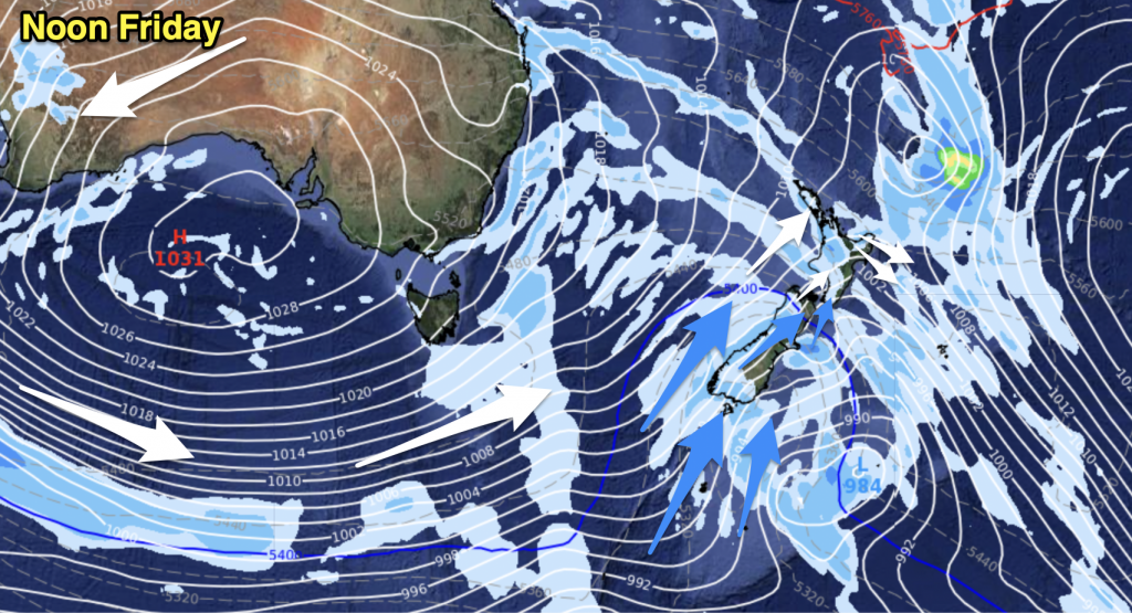
A much cooler change arrives in the south this weekend and while it may briefly bring a break to the humidity in the north next week it’s likely the first week of April will see more humidity in northern New Zealand and more dry weather in the south.

– Image / 4pm Wednesday shows rain sliding down the east coast while big afternoon downpours (with isolated thunder) affect inland northern and western parts of the North Island.
– WeatherWatch.co.nz


Add new comment