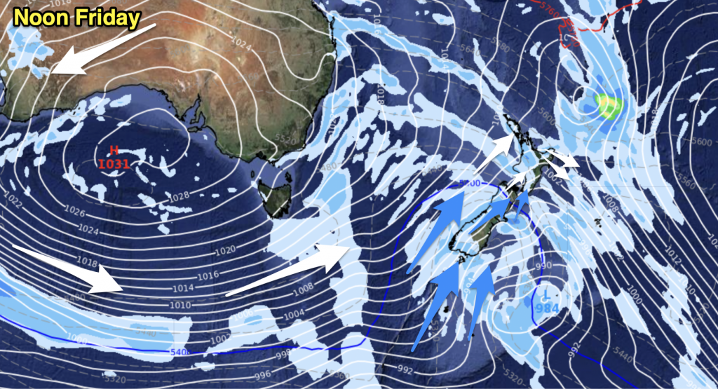
A ridge lies over the North Island today extending out from an anticyclone east of the North Island, meanwhile a light northwesterly airflow gradually develops further south.
Northland, Auckland, Waikato & Bay Of Plenty
Mostly sunny, there may be some fog to start the day about the Waikato. Cloud then quickly increases with showers from midday. The Bay Of Plenty has patchy rain or drizzle from morning. Light northeasterly winds.
Highs: 13-16
Western North Island (including Central North Island)
Mostly sunny, some cloud about Taranaki however with the chance of a shower or two. This area of cloud slinks southwards during the day entering into the Manawatu by evening. Light north to northwesterly winds.
Highs: 10-14
Eastern North Island
Sunny with light northerly winds.
Highs: 13-15
Wellington
A mix of sun and cloud with breezy northwesterly winds.
High: 13
Marlborough & Nelson
Sunny with light winds, afternoon north to northwesterly winds.
Highs: 12-14
Canterbury
Sunny, a touch of high cloud later in the day. Light winds may tend northeast near the coast in the afternoon.
Highs: 10-12
West Coast
Mostly cloudy although some sun breaking through in the afternoon for North Westland, a few light showers about Fiordland for most of the day. Light northerly winds.
Highs: 8-11
Southland & Otago
Mostly sunny with some high cloud, thickening in the evening. Light northwesterly winds.
Highs: 7-10
By Weather Analyst Aaron Wilkinson – WeatherWatch.co.nz


Add new comment