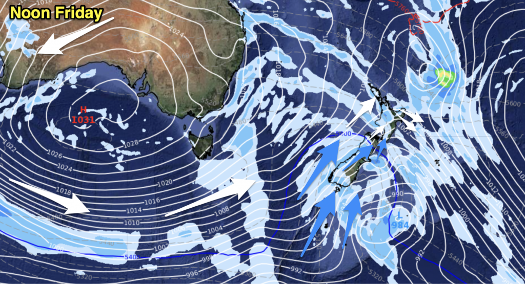
A northerly airflow increases today with a front moving onto the lower South Island this morning.
Northland, Auckland, Waikato & Bay Of Plenty
Sunny areas and thickening cloud with northeasterly winds, any morning fog about the Waikato breaks away. A light shower or two may develop from afternoon about Great Barrier Island, Coromandel and northern parts of Northland.
Highs: 20-21
Western North Island (including Central North Island)
Sunny areas and some cloud, cloud thickens in the evening with some patchy light rain developing about Taranaki and perhaps Kapiti. Northerly winds.
Highs: 17-19
Eastern North Island
Mostly sunny with some high cloud, north to northeasterly winds.
Highs: 18-22
Wellington
Increasing cloud with a spit of rain possible later in the day, gusty northerly winds.
High: 17
Marlborough & Nelson
Sunny areas and increasing high cloud, rain develops overnight. North to northwesterly winds picking up in the afternoon.
Highs: 17-20
Canterbury
High cloud thickens from morning, rain develops later in the evening or overnight as north to northwest winds change southwest.
Highs: 18-21
West Coast
Cloudy with the odd shower, rain moves into Fiordland this morning with heavy falls possible. Rain clears overnight for South Westland. North to northeasterly winds change south to southeast overnight.
Highs: 15-17
Southland & Otago
Dry at first then rain develops around midday for Southland and coastal Otago as northerlies change southwest, rain moves into inland Otago late afternoon or evening. Expect high cloud before rain moves in.
Highs: 13-17
By Weather Analyst Aaron Wilkinson – WeatherWatch.co.nz


Add new comment