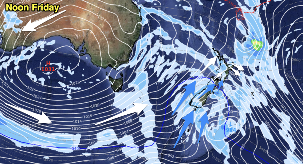
Sunny spells and increasing cloud, chance of a shower from afternoon. Southwesterly winds.
Highs: 17-20
Western North Island (including Central North Island)
Mostly sunny with a few areas of cloud at times (mainly morning). Light winds for most although coastal Taranaki sees southwesterlies pick up in the afternoon.
Highs: 19-23
Eastern North Island
Any morning cloud breaks away then mainly sunny with light winds in the morning, afternoon sea breezes.
Highs: 15-18
Wellington
Mostly sunny with northerly winds.
High: 18
Marlborough & Nelson
Sunny with light winds in the morning, afternoon north to northeast breezes.
Highs: 18-22
Canterbury
Mostly sunny with a touch of high cloud later in the day, east to northeasterly winds for most although inland about the foothills winds are light.
Highs: 18-23
West Coast
Mostly sunny with some developing high cloud, rain moves into Fiordland in the evening. Warm afternoon temperatures about inland Buller. Westerly winds.
Highs: 15-23
Southland & Otago
Mostly sunny with some increasing high cloud, may be a spot of evening rain for Southland. Widespread rain overnight for Southland with a southwest change. Coastal Otago sees northeasterly winds.
Highs: 20-26


Add new comment