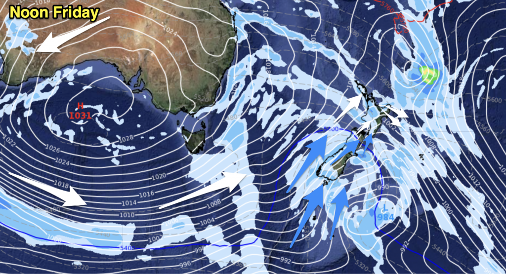
High pressure for the most part across New Zealand meaning mainly settled weather today, a few areas of low cloud or fog to start the day for some regions however.
Northland, Auckland, Waikato & Bay Of Plenty
Mostly sunny after any morning low cloud or fog clears, light winds in the morning then afternoon sea breezes.
High: 26-28
Western North Island (including Central North Island)
Any morning cloud breaks to a mostly sunny day, light winds tend westerly in the afternoon.
Highs: 25-28
Eastern North Island
Mostly sunny with any morning cloud breaking away, afternoon east to northeasterly winds.
Highs: 25-26
Wellington
Sunny with light winds, perhaps tending Southerly this afternoon.
High: 23-24
Marlborough & Nelson
Mostly sunny after any morning cloud breaks away, afternoon north to northeasterly winds.
Highs: 24-26
Canterbury
Any morning low cloud or fog breaks to a mostly sunny day, light winds inland while east to northeasterly winds develop nearer the coast after midday. Cloud and a few drizzle patches works into South and then Mid Canterbury later in the evening on the back of a weak Southerly wind change.
Highs: 22-25
West Coast
Mostly sunny after any morning cloud breaks away, west to southwesterly winds.
Highs: 22-26
Southland & Otago
Areas of cloud and some sun then around midday winds change southerly about Southland then moving into Otago late afternoon. Southerlies bring a few showers which clear later in the evening or overnight. Showers more likely about Southland and Coastal Otago.
Highs: 18-24
By Weather Analyst Aaron Wilkinson – WeatherWatch.co.nz


Add new comment