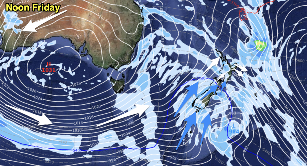
A front swings down over the upper North Island today extending out from a low pressure system in the Tasman Sea. A bit more settled further south although there may be a morning shower or two about some South Island regions.
Northland, Auckland, Waikato & Bay Of Plenty
Cloudy with brisk northeasterly winds, the odd light shower. Rain about Northland from morning spreads into Auckland during the afternoon then further south by evening. Heavy falls possible with rain.
Highs: 24-25
Western North Island (including Central North Island)
Sunny areas with light winds south of Taranaki, cloud thickens from afternoon and lowers. Taranaki sees mostly cloudy skies from morning with breezy easterly winds, areas of drizzle by midday turning to rain in the afternoon then spreading to most areas further south in the evening.
Highs: 24-29
Eastern North Island
Sunny in the morning, high cloud thickens from afternoon then northeasterly winds change southerly overnight.
Highs: 26-27
Wellington
Mostly cloudy skies with northwesterly winds, winds change south to southeasterly in the evening.
High: 23
Marlborough & Nelson
High cloud thickens from early morning, light winds change southerly in the evening with cloud lowering but remaining dry.
Highs: 23-25
Canterbury
Cloudy with some morning drizzle or a spot of rain, southerly winds tend easterly during the afternoon.
Highs: 20-21
West Coast
Cloudy with a few showers about mainly in the morning, light winds.
Highs: 21-24
Southland & Otago
Morning cloud breaks to sunny areas, west to southwest winds.
Highs: 17-25
By Weather Analyst Aaron Wilkinson – WeatherWatch.co.nz


Add new comment