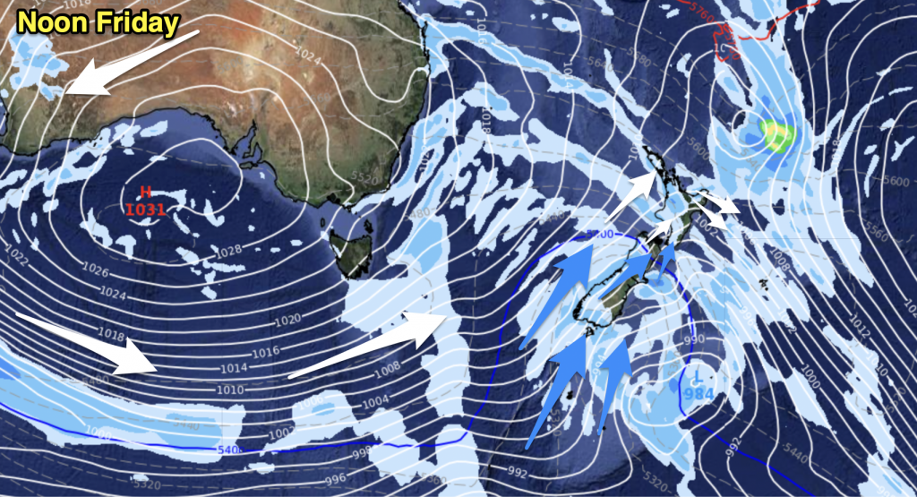
A front moves off to the northeast of the upper North Island this afternoon with heavy rain easing, a northwesterly airflow for the rest of New Zealand with showers in the west in general and sunnier drier skies out east.
Northland, Auckland, Waikato & Bay Of Plenty
Morning rain with heavy falls then easing to showers in the afternoon as northerlies change westerly. Showers clearing later in the evening.
Highs: 18-20
Western North Island (including Central North Island)
A few morning showers move through then clear, remaining fairly cloudy then in the evneing a further spell of showers moves through. Westerly winds. The Central North Island sees heavy morning rain ease to showers which clear in the evening.
Highs: 17-19
Eastern North Island
Early rain clears Hawkes Bay then clearing Gisborne this afternoon, rain heavy about the Gisborne ranges before clearing. Expect thick high cloud for much of the day however not clearing away till overnight. Breezy northwesterlies.
Highs: 20-22
Wellington
Sunny areas and some cloud, cloud thickens in the evening. Breezy northwesterly winds.
High: 17
Marlborough & Nelson
Mostly sunny with breezy northwesterly winds.
High: 21
Canterbury
Sunny areas and some high cloud, chance spot of rain late morning or around midday mainly inland. Northwesterly winds gusty at times inland.
High: 19
West Coast
Morning rain eases to showers around midday, dry spells possible by evening for North Westland. Westerly winds.
Highs: 12-13
Southland & Otago
Morning showers easing and mostly clearing, sunny areas develop by midday for most. A few showers may return in the evening. Winds from the northwest gusty about the Southland coastline.
Highs: 11-15
By Weather Analyst Aaron Wilkinson – WeatherWatch.co.nz


Add new comment