Cyclone Wilma was the first “tropical cyclone” in recorded history to ever hit New Zealand and it topped off a month that saw the tropics quite literally move into the upper North Island.
While many of us remember cyclones Drena, Fergus and Bola – or even Giselle (causing the 1968 Wahine disaster) – those storms were what we call “extra tropical”. They started off as tropical cyclones but changed when they lost their tropical characteristics. Sounds like a minor technicality but it is a significant change in the power and energy inside the storm.
Most of the storms in New Zealand are lows – deep and stormy, but with a different structure to tropical cyclones, which are far more aggressive.
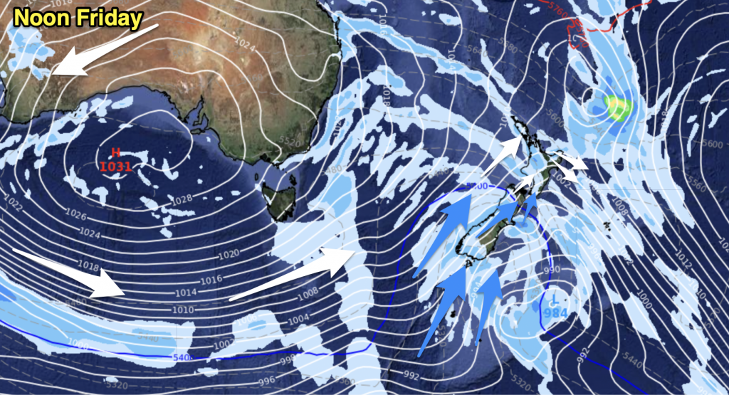
The closeness of the isobars in cyclones makes them so dangerous. Like an ice figure skater pulling their arms into spin faster, the tighter the isobars get the faster a cyclone spins. The more spread out the isobars are, the more spread out the winds are – and the air doesn’t spin as fast. Extra-tropical is when the skater opens her arms and the winds spread out and generally become weaker.
I’ve spoken to numerous people in the know and we can find no records that show any other tropical cyclone hitting New Zealand.
So Wilma was a tropical cyclone when she arrived but Zelia and Vania were not. Incredible after so many years of no cyclones we had three named storms in just three weeks.
And Niwa’s monthly climate report shows some parts of the North Island had 400 per cent of their January rainfall, which included Auckland, eastern Northland, the Firth of Thames, Coromandel and western Bay of Plenty – with many new records set. In contrast, it was dry for parts of inland south Canterbury and the Nelson Ranges.
Country99TV viewer Gael, from the Bay of Plenty, said she recorded a staggering 415mm of rain in January. “I thought the 178mm we got in 2010 was excessive!”.
Our weather pattern has now shifted into a “spring-like” westerly. It’s created huge temperatures – Gisborne reached 36C on Wednesday while that same morning Timaru started the day at 29C at 5am.
Our website WeatherWatch.co.nz had its biggest ever month in January with 500,000 page views and almost 200,000 visits. Cyclone Yasi on Wednesday saw our biggest single day of traffic with 25,000 visits and 65,000 page views in just 24 hours.
Philip Duncan writes a column for the Herald on Sunday each weekend


Add new comment
sw on 7/02/2011 8:35am
Cyclone Ida in March 1959 just touched cape reianga and went extra tropical almost immediately after,ie the focus went from the cyclone centre to another low which deepened itself.Theres a picture of the chart in an old weather book from BCNZs TV1 with a lady doing the presentation over the front.
Reply