Another week, another low – Your 3 Day Weather Highlights
26/06/2016 6:01pm

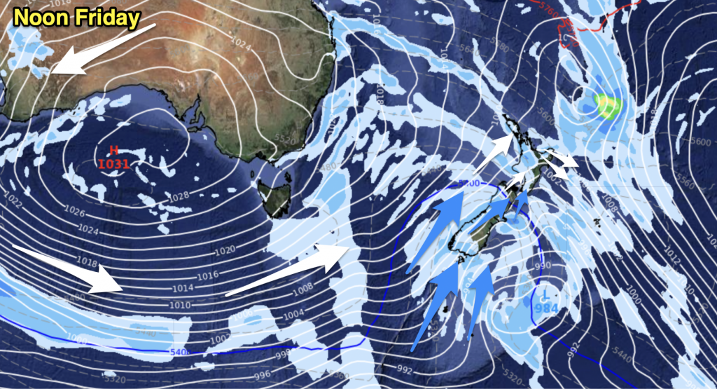
Another low pressure system is set to move over the North Island to start the week, bringing rain and showers to much of the country.
A second low approaches on Tuesday, making landfall by midweek – and bringing some more heavy rain to parts of New Zealand as the week progresses.
Monday
Dark Blue: Heavy falls in the north and west of the North Island
Light Blue: Showers and lighter falls on both coasts of the South Island
The front moves over the country, bringing some gusty westerly winds, while conditions should settle down overnight for most.
Tuesday
Dark Blue: Heavy rain overnight in Northland into Wednesday morning
A break in the wet weather on Tuesday, as a low approaches from the Tasman Sea, while most of the country will see showers at some point during the day – mostly clearing early showers in the South Island.
Wednesday
Dark Blue: Heavy falls at times over the upper, eastern and lower North Island – mainly late in the day
Purple: Strong northeast winds for the northeastern corner of the country
White: A frosty start for the inner South Island
A low pressure system moves closer to the North Island on Wednesday, bringing a wet east to northeasterly airflow – some heavy rain and strong winds.

– Please note, the idea behind this update is to focus on the main weather highlights, which is why not all regions are mentioned.
For specific 10 day information for your city, town, rural community or island please see the 1000 forecasts on our homepage!
– Aaron Wilkinson & Drew Chappell, WeatherWatch.co.nz


Add new comment